9 min read / Bikal Shrestha & TrekGuard Team /
Annapurna Base Camp Is Sold as Moderate. Two Things Make It Not.
The Annapurna Sanctuary funnels avalanche debris onto the trail between Hinku Cave and Deurali, and the standard itinerary raises your sleeping altitude by roughly 900 m on two consecutive nights. Here is where both hazards sit and how to walk around them.
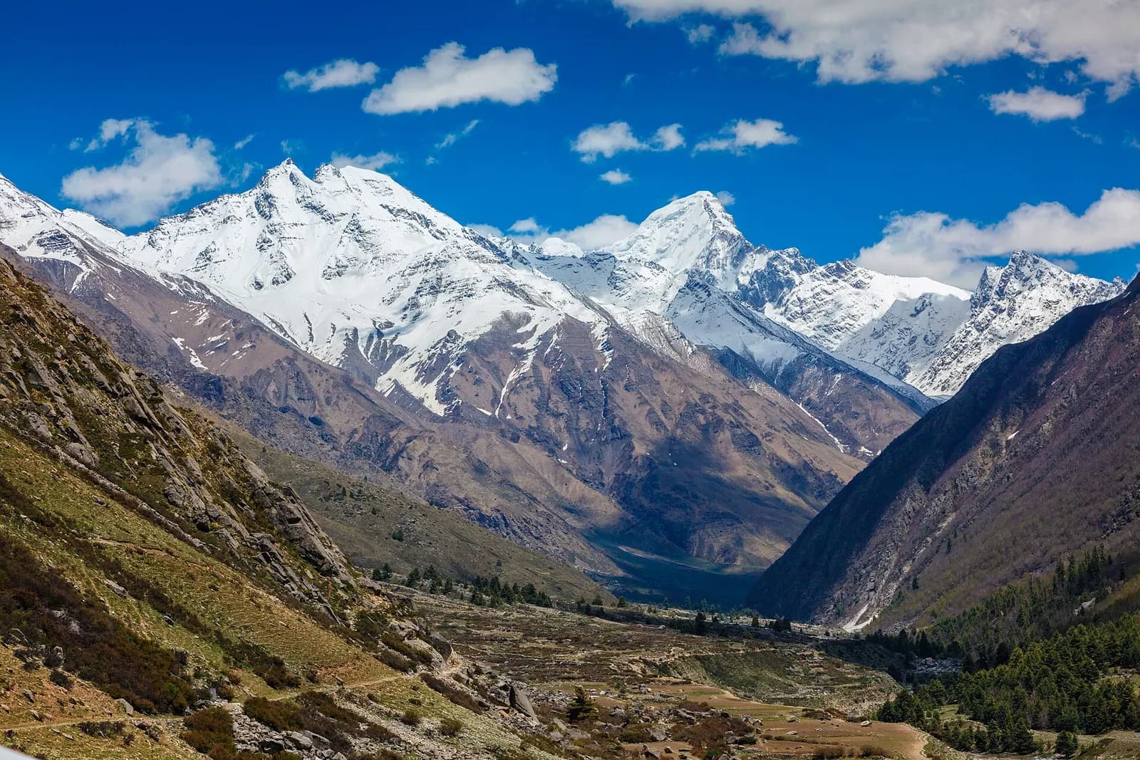
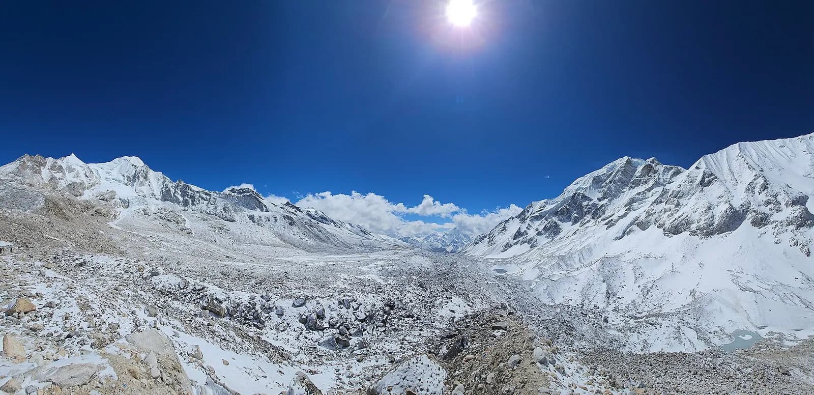
Photo: Rosan Harmens / CC0
Quick Summary
TL;DR - Key Takeaways
- The Annapurna Sanctuary is a narrow glacial corridor with steep walls above the trail. Snow released off those walls has nowhere to go except onto the path.
- Three sections carry the risk: Hinku Cave to Deurali, Machhapuchhre Base Camp up to Annapurna Base Camp, and, after heavy rain or snowmelt, the Sinuwa and Bamboo stretch lower down.
- The worst window is winter, December to February, with a second period in early spring as the snowpack starts to melt. The dangerous days are the ones immediately after heavy snowfall, in any month.
- The standard 10-day itinerary raises sleeping altitude by 920 m from Bamboo to Deurali and by another 900 m from Deurali to Annapurna Base Camp, back to back, with no rest night. That is the most aggressive ascent profile of any of the popular Nepal treks.
- Both hazards have the same mitigation shape: an extra night in the right village, and a willingness to not walk on a given morning.
Two Hazards That Never Appear on the Same Page
The Annapurna Base Camp trek is graded moderate almost everywhere it is sold, and for good reason. It tops out at 4,130 m rather than above 5,000 m, it has no pass to cross, the teahouses are close together and the trail is well built. Compared with a high pass crossing it is a gentler proposition.
That grading is doing two things at once, though. It is describing the walking, which is honestly moderate. And it is being read as a description of the risk, which it is not.
There are two specific hazards on this route. One is terrain: a defined avalanche corridor that has killed trekkers within living memory. The other is the itinerary itself: an ascent rate that, measured against standard altitude guidance, is steeper than anything on the Everest Base Camp or Annapurna Circuit schedules.
Neither is a reason not to go. Both are reasons to plan a specific way, and neither is visible in the word "moderate".
Where the Avalanche Ground Is
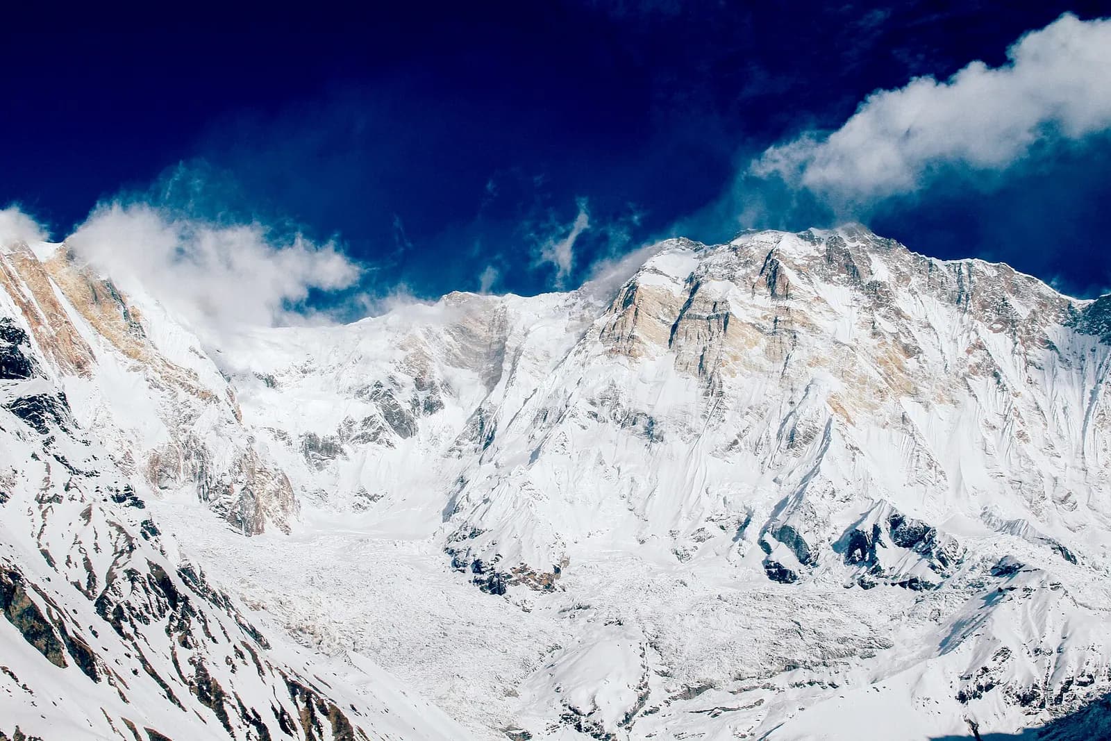
The Annapurna Sanctuary is a deep, narrow basin ringed by very steep walls. The geometry that makes it spectacular is the same geometry that concentrates anything falling off those walls onto the valley floor, and the trail is on the valley floor.
Hinku Cave to Deurali. The most consistently identified danger zone on the trek. The canyon here is narrow and snow released off the slopes above, including from Hiunchuli, reaches the trail rather than running out somewhere harmless. This is the section that has produced the fatal incidents.
Machhapuchhre Base Camp to Annapurna Base Camp. The final climb into the sanctuary. Steeper inclines on both sides, and a corridor prone to snow, rock and ice release after fresh snowfall.
Sinuwa and Bamboo. Lower, less steep and usually ignored, but the slopes here can shed after heavy rain or during snowmelt. The failure mode down here is more often a small slide or a landslide than a full avalanche, which does not make it survivable if you are underneath it.
The pattern to take away is that the risk is not spread evenly along the trek. It is concentrated in specific, named, short sections. That is useful, because short sections can be timed.
When, and Why the Day After Snowfall Is the Day That Matters
Winter, December through February, is the most hazardous period. Early spring is the second window, as rising temperatures begin to destabilise accumulated snow.
Those are the seasons. The days are what actually kill people, and they follow a simpler rule: the hazard spikes immediately after heavy snowfall and decays over the following days as the snowpack settles. A fresh load on a steep slope has not yet bonded to what is underneath it. Standard practice is to let the snowpack stabilise for several days after a significant fall rather than walking into it on day one.
There is a daily cycle on top of the seasonal one. Solar heating through the morning warms and weakens the surface, so a slope that is frozen and stable at first light is more willing to move by late morning. This is why guides on this route cross the exposed ground early, before the sun reaches the slopes above.
The January 2020 avalanche on this trek is the reference case. On 17 January 2020, four South Korean trekkers and three Nepali guides were buried by an avalanche in the Hinku Cave and Deurali section following heavy snowfall. Recovery operations ran for months. It was not a freak event in an unknown place. It happened in the identified corridor, in the identified season, after fresh snow.
How Experienced Guides Actually Handle It
The mitigations are unglamorous and they work.
Sleep at Deurali and cross early. Staying overnight at Deurali positions you to move through the exposed ground in the first hours of daylight, before solar heating goes to work on the slopes above. An early start is not about beating the crowds on this trek. It is the safety measure.
Wait after fresh snow. If heavy snow has just fallen, the correct move is to hold at a lower village for a day or more, not to walk through and hope. This means your itinerary needs the slack to absorb a lost day, and it means being willing to give up the base camp if the slack runs out.
Do not linger in the corridor. The narrow sections are places to move through steadily, not to stop for photographs or a long snack break.
Take the weather forecast as an input, not a verdict. Mountain snowfall in the sanctuary is local and models are coarse there. A forecast is a reason to be more cautious, never a reason to be less. If a forecast says clear and the ground says a metre of new snow, the ground is right.
In winter and early spring, go with a guide who knows this specific ground. The generic advice to hire a guide is often about navigation. Here it is about somebody who has crossed that corridor in these conditions before and will call off the morning.
TrekGuard caches the forecast for the sanctuary before you lose signal above Chhomrong, and shows plainly when the data it is holding has gone stale rather than displaying an old forecast as if it were current. In a place where the decision is timing-critical, knowing that your information is six hours old is more useful than a confident-looking number.
The Other Hazard: This Itinerary Climbs Fast
Standard altitude guidance is to raise your sleeping altitude by no more than 500 m per night above 3,000 m, with a rest night every three to four days. Here is the 10-day Annapurna Base Camp itinerary measured against that.
Look at nights 4 and 5. Two consecutive gains of roughly 900 m, at increasing altitude, with no rest night anywhere in the ascent. For comparison, the largest single sleeping gain on the entire Everest Base Camp trek is 830 m, and it is followed immediately by a full rest day at Namche.
The saving grace is the absolute altitude. At 4,130 m, Annapurna Base Camp is more than 1,000 m below the highest sleeping altitude on the Everest route, and the consequences of a given ascent rate are less severe lower down. This is why the itinerary works for most people despite the profile. It is not a reason to assume it will work for you.
There is a second consequence in the descent. Day 6 drops 1,820 m from Annapurna Base Camp to Bamboo across 17 km, and this trail is largely stone staircase. That day is hard on knees in a way the altitude chart does not show, and trekking poles are worth carrying for it alone.
| Night | Sleep at | Altitude | Gain on previous night | Against the 500 m limit |
|---|---|---|---|---|
| 1 | Ghandruk | 1,940 m | First night on the trail | Below 3,000 m |
| 2 | Chhomrong | 2,170 m | +230 m | Below 3,000 m |
| 3 | Bamboo | 2,310 m | +140 m | Below 3,000 m |
| 4 | Deurali | 3,230 m | +920 m | Exceeds |
| 5 | Annapurna Base Camp | 4,130 m | +900 m | Exceeds |
| 6 | Bamboo | 2,310 m | -1,820 m | Descent |
| 7 | Jhinu Danda | 1,780 m | -530 m | Descent |
| 8 | Ghorepani | 2,860 m | +1,080 m | Below 3,000 m |
| 9 | Nayapul | 1,070 m | -1,790 m | Descent |
What a Safer Annapurna Base Camp Looks Like
Neither hazard calls for a different trek. Both call for the same two things: one more night, and one more option.
Add a night at Deurali or Machhapuchhre Base Camp. It splits the 900 m push into the sanctuary, and it puts you in position to cross the exposed ground at first light. One night solves both problems at once, which is unusual and worth taking advantage of.
Do not plan the trek with no spare days. If your flight home is the day after you get back to Pokhara, you have written the snowfall decision out of your own itinerary. You will walk when you should have waited.
Score yourself from Deurali upward. After a 920 m gain you are in the altitude range where symptoms appear. The Lake Louise Score takes a minute and turns a vague feeling into a number you can act on. A headache the evening you reach Deurali is information about tomorrow.
Reconsider midwinter. December through February is when the sanctuary is at its most beautiful and its most dangerous, and it is also when a fresh snowfall is most likely to trap you on the wrong side of the corridor. If your only window is winter, go with a guide who works this route regularly and treat the base camp as optional.
Carry the trail offline. Signal is unreliable above Chhomrong and the sanctuary is a single corridor with side valleys that look plausible in poor visibility. Our guide to offline GPX navigation covers setting this up before you leave. The route file and full profile are on the Annapurna Base Camp route page.
Frequently Asked Questions
Is the Annapurna Base Camp trek safe?
For most trekkers in autumn and late spring it is a straightforward walk with good teahouse infrastructure. The two real hazards are the avalanche corridor between Hinku Cave and Deurali and on the climb to the base camp, which is most dangerous in winter and immediately after heavy snowfall, and an ascent profile that raises sleeping altitude by roughly 900 m on two consecutive nights. Both are manageable with an extra night at Deurali and a willingness to wait out fresh snow.
Where is the avalanche risk on the Annapurna Base Camp trek?
Three sections. Hinku Cave to Deurali is the most consistently identified, where the canyon is narrow enough that snow off the slopes above reaches the trail. Machhapuchhre Base Camp up to Annapurna Base Camp is the second, with steep inclines on both sides. Lower down, Sinuwa and Bamboo can produce small slides and landslides after heavy rain or during snowmelt.
What happened in the 2020 Annapurna Base Camp avalanche?
On 17 January 2020, an avalanche following heavy snowfall buried four South Korean trekkers and three Nepali guides in the Hinku Cave and Deurali section. Search and recovery operations continued for months afterwards. The incident occurred in the known risk corridor, in the highest-risk season, on fresh snow.
What is the worst month for avalanches on the ABC trek?
Winter, December through February, carries the highest risk, with a second period in early spring as the snowpack begins to melt. Within any season, the highest-risk days are those immediately following heavy snowfall, before the new snow has bonded to the layers beneath it. Guides typically wait several days after a significant fall.
Why do guides start so early on the Annapurna Base Camp trail?
Solar heating through the morning warms and weakens the snowpack on the slopes above the trail, so a slope that is frozen and stable at first light becomes more likely to release later in the day. Crossing the exposed ground between Deurali and the base camp early is the standard mitigation, which is why staying overnight at Deurali rather than pushing through from lower down matters.